
Exposing the Global Distortion: Why Correcting Africa’s Map Matters to America’s Sovereignty
For over 450 years, the Mercator map has distorted Africa’s true size, minimizing its global importance. This campaign reveals how this centuries-old deception harms perceptions worldwide — including U.S. geopolitical understanding and economic policy.
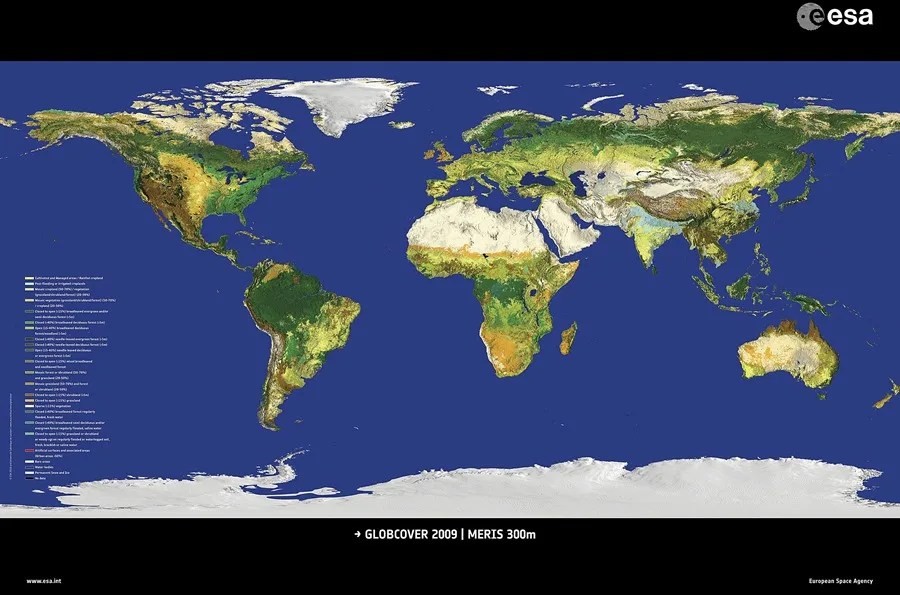
More than four centuries after its creation, the Mercator projection remains the dominant world map despite a glaring flaw: it grossly distorts the size of continents, shrinking Africa to a fraction of its actual scale. Africa is fourteen times larger than Greenland and can fit almost all of Europe plus major countries like the United States, China, and Japan within its vast borders. Yet most maps in classrooms, government offices, and media outlets continue to mislead Americans about this crucial fact. Why Does This Matter to America? The persistent use of inaccurate maps is not a harmless cartographic quirk; it...
This is Exclusive Content for Subscribers
Join our community of patriots to read the full story and get access to all our exclusive analysis.
View Subscription Plans